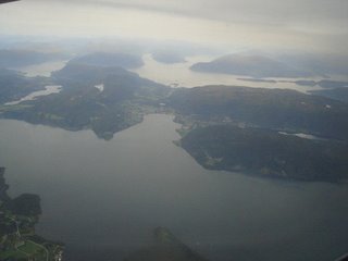
Finally here's the delayed post with pics from my week in Norway! Kristiansund is this, not exactly tiny, but rather sparsely populated group of four fairly large islands, along with a large number of tiny bits of rock sticking their heads above the water. The sheer number of distinct land masses separated by water means that a network of roads connecting all of them is absolutely impossible. No wonder that the only legal requirement to drive a boat is that you have to be 16 yrs old. Even that rule they break, by as much as 10 years /:).

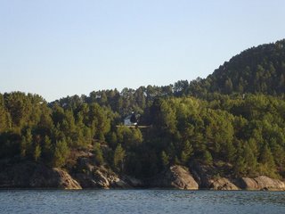
Anyway, so most of the week I woke up at 6:45 in the morning and then spent about eight hours of the day out in the fjord. It was tougher than I thought it would be, and I couldn't but wonder what it would be like to be living on an island, hemmed in by forests, a lone house on the hillside...
In the end, three of us were left with one day free, so I started poring over a map :). The place that caught my attention was called Varden - an old lookout post that provides a fairly spectacular 360-degree view of the town, the shipping fairways, the nearby mountains and fjords of Nordmore.

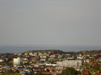
It's also almost the only point from where you can get a clear view of Grip. This happens to be a tiny bit of land 14 km out to sea. (The tiny lighthouse you can
almost see out at sea in the pic below. I know, 3x optical is just not enough :(.) It used to be an old fishing community, and all the houses are intact and well maintained. This is despite the fact that the last permanent residents left way back in 1964!! Apparently the descendants of those residents use it as a summer retreat. I found the idea of an entire settlement with houses, furniture and everything intact, completely devoid of life for the better part of the year pretty fascinating :).
Anyway, so I realized that maps can be fairly deceptive. Take for example the map of Perth I have. You look at places on the map and think, hey that doesn't look like it's too far away! And you end up walking for an hour and a half to get there. Then there's the map of Kristiansund, by the look of it, the walk to Varden should have taken a better part of the afternoon, instead, we were there in 20 minutes!! (Before you start sniggering and all that, city tourist maps at hotels never have a scale :|.) The 8 pm sundown left us with over 5 hours of fairly bright daylight, so off we went down some lovely looking overgrown paths.

The views of the fjord and Kristiansund, laid out all around the blue in the bright sunshine was altogether too much :). But it got better!! You see, the paths we took went winding around the highlands, with little offshoots every now and then to the top of particularly steep drop, hence the views.
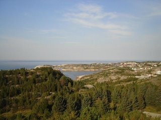
But I was beginning to wish there'd be some way to convince the other chaps to actually go climbing to the very top!! Precisely on cue, a trail appears, heading off towards the top :D. And ends up at this house sort of thing, loose rough hewn rocks on the outside, and smooth concrete-like walls on the inside!!

Eventually we headed back down and out towards the sea. There's something to be said about rocky beaches. In this case it was Klubba, a fairly popular crab fishing location. Huge boulders lay everywhere that the water came and smashed itself to a million drops on. And then it seeped back down into the sea, flowing throught the cracks, the gurgling surprisingly loud in the surrounding silence.
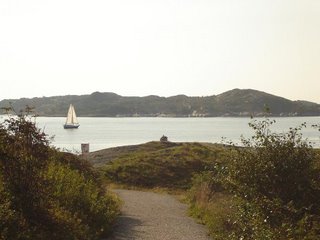
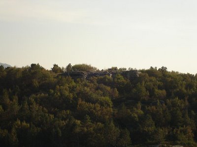
Then we headed back up the other hill in sight. This time we were rewarded with a clear view of the stone 'building' we'd stumbled upon! In the end we figured the best thing to do would be to just head off down the hill-side instead of trying to find a proper way back :D.
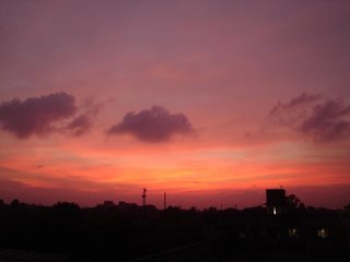
There were of course other things, like the sunset through the clouds, and the abandoned campsite in the middle of nowhere, and the huge graveyard hidden away in the trees with it's black marble tombstones, and the white peacock... but this post is already too long, and I think I'll just put up the pics on
my photoblog :).
Currently: watching the rain
Listening to: Moby - In my heart
 Oh, I quite liked the movie by that name, by the way. Not something I can say about too many Jennifer L Hewitt movies :). Saw it on an aeroplane to somewhere I think. That's another thing that's becoming like a bad habit, ending up watching movies on flights instead of theatres :-<.
 Oh, I quite liked the movie by that name, by the way. Not something I can say about too many Jennifer L Hewitt movies :). Saw it on an aeroplane to somewhere I think. That's another thing that's becoming like a bad habit, ending up watching movies on flights instead of theatres :-<.


